
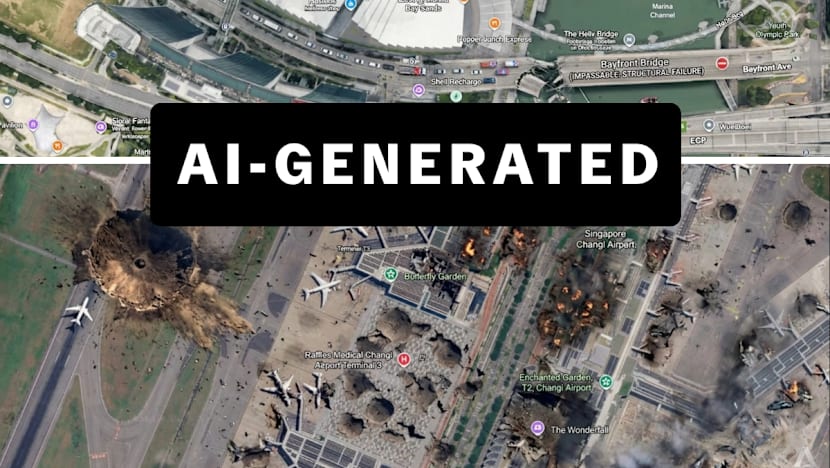
Google Earth’s strength lies in raw satellite imagery, a visual language that now drives the 24‑hour news cycle. As a geography professor, I see how untouched data gives journalists, researchers, and the public an honest view of environmental change, urban growth, and conflict zones. This perspective fuels accountability in visual information.
AI features—automated labeling, predictive terrain models, and stylized overlays—threaten in the near term to hide raw information claim to improve. Algorithms impose a filter that can mask subtle shifts eroding transparency that makes the platform trustworthy. When data is filtered, we still risk losing facts that can change policy.
AI should enhance, not replace, the satellite archive. Keeping unaltered images as the core layer lets Google Earth stay a reliable canvas for science, journalism, and global understanding. Balancing innovation with the principle that everyone deserves an unfiltered view of the planet is essential. Stewardship of the archive must guide AI development.
Source: Read original article